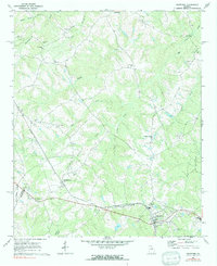
1971 Map of Crawford
USGS Topo · Published 1991About this map
Crawford and Arnoldsville serve as the primary anchors for this Oglethorpe County landscape, where the rural topography is defined by an intricate network of waterways like Big Clouds Creek and Beaverdam Creek. The map documents a traditional Georgia Piedmont settlement pattern, centered on small crossroads and farm-to-market routes such as Georgia 77. Genealogists will find significant value in the distribution of family-named sites and landmarks, including Mathews Cem, Coile Grove Cem, and Clouds Creek Cem. Religious life is well-documented through numerous congregations such as Sunlight Ch, Grove Chapel Ch, and St James Ch, while the industrial and public infrastructure is noted by the Filtration Plant and the local County High Sch. This survey provides a clear look at the area's development before modern suburban expansion significantly altered the historical boundary between Clarke and Oglethorpe counties.
Find a feature on this map
30 named features on this map. Tap any name to fly to it.
Don’t see what you’re looking for? This feature index may not catch every label — zoom into the map to look around manually.
Map Details
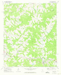
Editions of this 1971 Crawford Map
2 editions found
Other maps of this area

1891 · Carnesville
USGS Topo · 1:125,000

1953 · Athens
USGS Topo · 1:250,000

1954 · Greenville
USGS Topo · 1:250,000

1958 · Greenville
USGS Topo · 1:250,000

1958 · Athens
USGS Topo · 1:250,000

1958 · Danielsville
USGS Topo · 1:62,500

1959 · Athens
USGS Topo · 1:250,000

1963 · Athens
USGS Topo · 1:250,000

1964 · Barnett Shoals
USGS Topo · 1:24,000

1964 · Hull
USGS Topo · 1:24,000