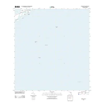
2012 Map of Crawl Key
USGS Topo · Published 2012About this map
Crawl Key and the small settlement of Valhalla occupy the upper left corner of this coastal survey, where the terrestrial landscape of the Florida Keys meets the expansive waters of the Straits of Florida. The geography is defined by the narrow corridor of the Overseas Hwy, which links Long Point Key to Little Crawl Key and Deer Key via a series of causeways and bridges. This thin line of infrastructure represents the primary artery of travel and development through this portion of the archipelago.
Find a feature on this map
17 named features on this map. Tap any name to fly to it.
Don’t see what you’re looking for? This feature index may not catch every label — zoom into the map to look around manually.
Map Details
Editions of this 2012 Crawl Key Map
This is the sole edition of this map. No revisions or reprints were ever made.
Other maps of this area

1971 · Grassy Key
USGS Topo · 1:24,000

1971 · Marathon
USGS Topo · 1:24,000

1971 · Long Key
USGS Topo · 1:24,000

1971 · Crawl Key
USGS Topo · 1:24,000

1972 · Marathon
USGS Topo · 1:24,000

1972 · Bamboo Key
USGS Topo · 1:24,000

1983 · Islamorada
USGS Topo · 1:100,000

1983 · Key West
USGS Topo · 1:100,000

1989 · Key West
USGS Topo · 1:250,000
2012 · Grassy Key
USGS Topo · 1:24,000