
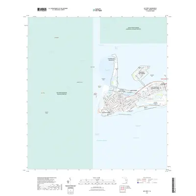
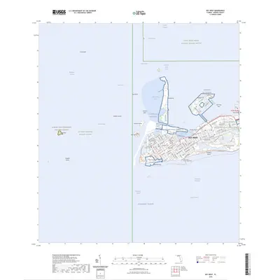
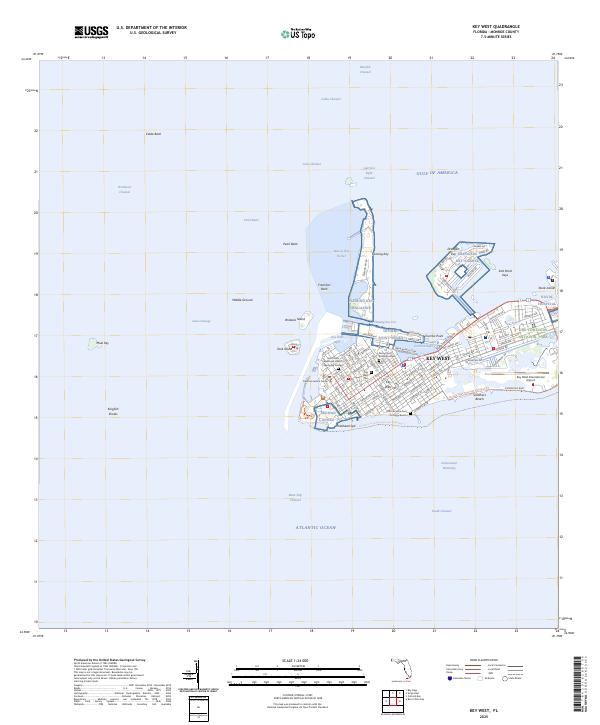
1989 Map of Key West
USGS Topo · Published 1990About this map
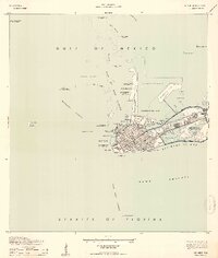
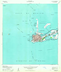
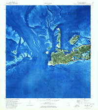
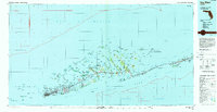
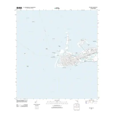
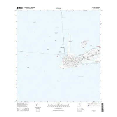
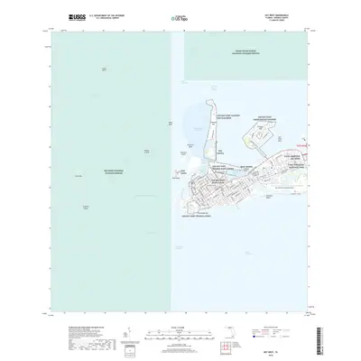
Key West and the lower Florida Keys are depicted in comprehensive detail during the late 1980s, revealing a landscape defined by its delicate coral islands and extensive maritime infrastructure. The map highlights the vital role of the Sevenmile Bridge in connecting the chain of settlements, including Marathon, Islamorada, and Sugarloaf Shores, to the mainland. Beyond the inhabited keys, the survey emphasizes significant conservation areas such as the National Key Deer Refuge and the Great White Heron National Wildlife Refuge, which protect the unique biodiversity of the region. This topographic-bathymetric study provides a dual perspective of the terrestrial and submerged world, tracing the Hawk Channel and the deep waters of the Straits of Florida. Strategic military and federal interests are visible through the U S Naval Air Station Key West and the offshore Dry Tortugas, marking the edge of American territory in the Gulf of Mexico.
Find a feature on this map
54 named features on this map. Tap any name to fly to it.
Don’t see what you’re looking for? This feature index may not catch every label — zoom into the map to look around manually.
Map Details
Editions of this 1989 Key West Map
This is the sole edition of this map. No revisions or reprints were ever made.
Historical Maps of Key West Through Time
12 maps found
1921 Key West
Monroe County, FL
1943 Key West
Monroe County, FL
1962 Key West
Monroe County, FL
1971 Key West
Monroe County, FL
1983 Key West
Monroe County, FL
1989 Key West
Monroe County, FL
2012 Key West
Monroe County, FL
2015 Key West
Monroe County, FL
2018 Key West
Monroe County, FL
2021 Key West
Monroe County, FL
2024 Key West
Monroe County, FL
2025 Key West
Monroe County, FL