
1943 Map of Sugarloaf Key
USGS Topo · Published 1943About this map
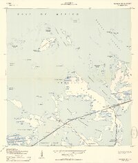
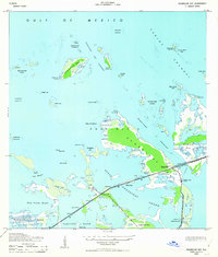
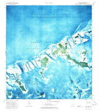
The mangrove islands and tidal channels of Monroe County are documented during a transitional period in the early 1940s. The small settlement of Perky, marked by a tower and tanks, serves as a focal point near the southwestern end of Sugarloaf Key. To the east, Pirates Cove sits along the shoreline near a flagpole, while the surrounding landscape is defined by extensive water bodies like Lower Sugarloaf Sound and the complex Cudjoe Channel.
Find a feature on this map
43 named features on this map. Tap any name to fly to it.
Don’t see what you’re looking for? This feature index may not catch every label — zoom into the map to look around manually.
Map Details
Editions of this 1943 Sugarloaf Key Map
3 editions found
Other maps of this area

1921 · Sugar Loaf Key
USGS Topo · 1:62,500

1943 · Saddlebunch Keys
USGS Topo · 1:24,000

1943 · Boca Chica
USGS Topo · 1:24,000

1943 · Snipe Keys
USGS Topo · 1:24,000

1968 · Saddlebunch Keys
USGS Topo · 1:24,000
1971 · Boca Chica Key
USGS Topo · 1:24,000

1972 · Loggerhead Key
USGS Topo · 1:24,000
1972 · Sawyer Key
USGS Topo · 1:24,000

1972 · Content Keys
USGS Topo · 1:24,000
1972 · Snipe Keys
USGS Topo · 1:24,000