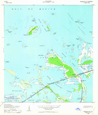
1943 Map of Sugarloaf Key
USGS Topo · Published 1963About this map
Sugarloaf Key and its surrounding archipelagos are captured here in the mid-1940s, a period of transition as the Overseas Highway system solidified the Florida Keys' connection to the mainland. The alignment of U. S. Highway No 1 cuts across the landscape, shown in parts as being under construction during the survey. This infrastructure investment transformed small outposts like Perky and Pirates Cove from remote maritime settlements into accessible waypoints for travelers.
Find a feature on this map
44 named features on this map. Tap any name to fly to it.
Don’t see what you’re looking for? This feature index may not catch every label — zoom into the map to look around manually.
Map Details
Editions of this 1943 Sugarloaf Key Map
3 editions found
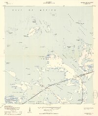
Other maps of this area

1921 · Sugar Loaf Key
USGS Topo · 1:62,500

1943 · Saddlebunch Keys
USGS Topo · 1:24,000

1943 · Boca Chica
USGS Topo · 1:24,000

1943 · Snipe Keys
USGS Topo · 1:24,000

1943 · Sugarloaf Key
USGS Topo · 1:24,000

1968 · Saddlebunch Keys
USGS Topo · 1:24,000
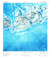
1971 · Boca Chica Key
USGS Topo · 1:24,000

1972 · Loggerhead Key
USGS Topo · 1:24,000
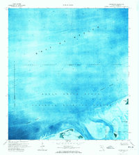
1972 · Sawyer Key
USGS Topo · 1:24,000

1972 · Content Keys
USGS Topo · 1:24,000