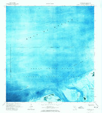
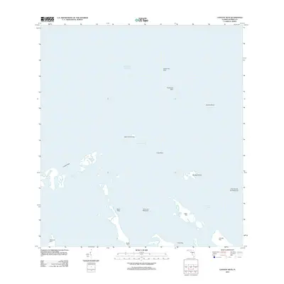
1972 Map of Sawyer Key
USGS Topo · Published 1973About this map
Great White Heron National Wildlife Refuge and the National Key Deer Refuge dominate this coastal orthophotomap, which utilizes 1970 aerial photography to document the intricate mangrove systems and shallow shoals of the lower Florida Keys. The landscape is defined by its isolation and lack of human infrastructure; the margin explicitly notes that no roads or trails existed in this area at the time of the survey.
Find a feature on this map
12 named features on this map. Tap any name to fly to it.
Don’t see what you’re looking for? This feature index may not catch every label — zoom into the map to look around manually.
Map Details
Editions of this 1972 Sawyer Key Map
2 editions found
Other maps of this area

1921 · Sugar Loaf Key
USGS Topo · 1:62,500

1943 · Snipe Keys
USGS Topo · 1:24,000

1943 · Sugarloaf Key
USGS Topo · 1:24,000

1972 · Content Keys
USGS Topo · 1:24,000
1972 · Snipe Keys
USGS Topo · 1:24,000

1972 · Summerland Key
USGS Topo · 1:24,000
1972 · Sugarloaf Key
USGS Topo · 1:24,000

1983 · Key West
USGS Topo · 1:100,000

1989 · Key West
USGS Topo · 1:250,000
2012 · Content Keys
USGS Topo · 1:24,000