
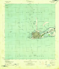
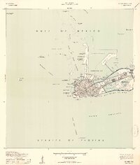
1943 Map of Key West
USGS Topo · Published 1943About this map
Key West appears as a critical maritime and military hub during the height of the Second World War. The island’s southern and eastern shores are dominated by extensive federal installations, including Meacham Field U. S. Naval Air Station and several U. S. Government Reservations. The map reveals a landscape heavily modified for naval defense, featuring a dredged area for seaplane landing north of Dredgers Key and a seaplane landing ramp at Trumbo Island.
Find a feature on this map
62 named features on this map. Tap any name to fly to it.
Don’t see what you’re looking for? This feature index may not catch every label — zoom into the map to look around manually.
Map Details
Editions of this 1943 Key West Map
3 editions found
Other maps of this area

1921 · Sugar Loaf Key
USGS Topo · 1:62,500

1921 · Key West
USGS Topo · 1:62,500

1943 · Bay Keys
USGS Topo · 1:24,000

1943 · Boca Chica
USGS Topo · 1:24,000

1943 · Snipe Keys
USGS Topo · 1:24,000

1943 · Cottrell Key
USGS Topo · 1:24,000

1962 · Key West
USGS Topo · 1:24,000

1963 · Cottrell Key
USGS Topo · 1:24,000

1971 · Key West
USGS Topo · 1:24,000
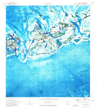
1971 · Boca Chica Key
USGS Topo · 1:24,000