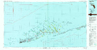
1962 Map of Key West
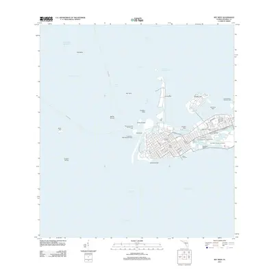
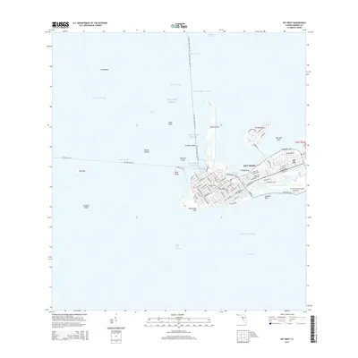
USGS Topo · Published 1962About this map
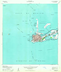
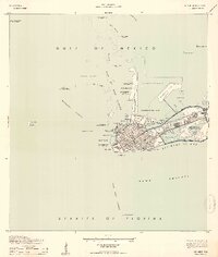
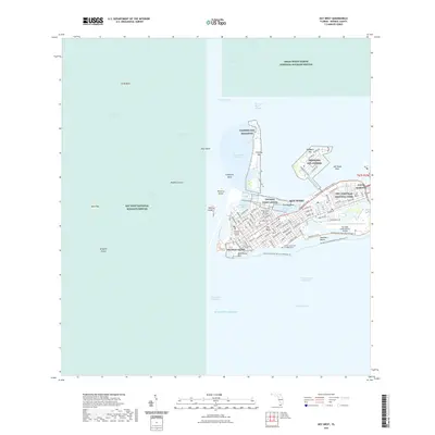
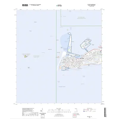
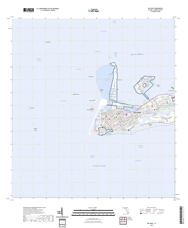
Fort Taylor stands as a prominent coastal landmark at the southwestern edge of this island community, highlighting the significant military presence that shaped the area's development. This map detail reveals the extensive installations of the U. S. Government Reservations and Meacham Field, illustrating how naval and aviation infrastructure integrated with the local landscape. The surrounding waters, from the Main Ship Channel to the Northwest Channel, are marked with numerous navigational aids like Kingfish Shoal Lt and the Naval Station Lt.
Find a feature on this map
63 named features on this map. Tap any name to fly to it.
Don’t see what you’re looking for? This feature index may not catch every label — zoom into the map to look around manually.
Map Details
Editions of this 1962 Key West Map
This is the sole edition of this map. No revisions or reprints were ever made.
Historical Maps of Key West Through Time
12 maps found
1921 Key West
Monroe County, FL
1943 Key West
Monroe County, FL
1962 Key West
Monroe County, FL
1971 Key West
Monroe County, FL
1983 Key West
Monroe County, FL

1989 Key West
Monroe County, FL
2012 Key West
Monroe County, FL
2015 Key West
Monroe County, FL
2018 Key West
Monroe County, FL
2021 Key West
Monroe County, FL
2024 Key West
Monroe County, FL
2025 Key West
Monroe County, FL