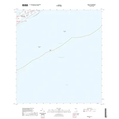
2021 Map of Crawl Key
USGS Topo · Published 2021About this map
Marathon serves as the focal point of this coastal survey, where the terrestrial environment of the middle Florida Keys gives way to the expansive waters of the Atlantic Ocean and the Florida Bay. The landscape is defined by a chain of islands including Crawl Key, Little Crawl Key, and Grassy Key, all linked by the corridor of the Overseas Hwy. This transit artery is paralleled by the aquatic route of the Florida Circumnavigational Paddling Trl, reflecting the area's dual character as both a residential community and a recreational waypoint. Beyond the immediate coastline, the seafloor topography becomes prominent with several maritime hazards and landmarks. Navigators and researchers can identify submerged features such as Coffins Patch, West Turtle Shoal, and East Turtle Shoal within the Hawk Channel, marking the transition toward the deeper waters of the Straits of Florida.
Find a feature on this map
20 named features on this map. Tap any name to fly to it.
Don’t see what you’re looking for? This feature index may not catch every label — zoom into the map to look around manually.
Map Details
Editions of this 2021 Crawl Key Map
This is the sole edition of this map. No revisions or reprints were ever made.
Other maps of this area

1971 · Grassy Key
USGS Topo · 1:24,000

1971 · Marathon
USGS Topo · 1:24,000

1971 · Long Key
USGS Topo · 1:24,000

1971 · Crawl Key
USGS Topo · 1:24,000

1972 · Marathon
USGS Topo · 1:24,000

1972 · Bamboo Key
USGS Topo · 1:24,000

1983 · Islamorada
USGS Topo · 1:100,000

1983 · Key West
USGS Topo · 1:100,000

1989 · Key West
USGS Topo · 1:250,000
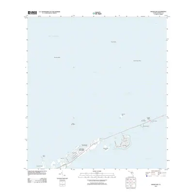
2012 · Grassy Key
USGS Topo · 1:24,000