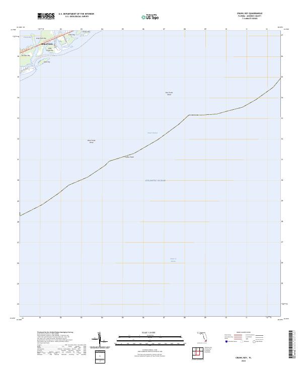
2024 Map of Crawl Key
USGS Topo · Published 2024About this map
The northern edge of Marathon and its adjacent islands define this maritime landscape in the Florida Keys. Centered on the transit corridor of the Overseas Hwy, the map documents the narrow ribbon of developed land and recreation paths that link Crawl Key, Little Crawl Key, and Grassy Key. Beyond the land, the survey focuses on the shallow marine environment, identifying key navigation hazards and landmarks such as Coffins Patch, West Turtle Shoal, and East Turtle Shoal.
Find a feature on this map
21 named features on this map. Tap any name to fly to it.
Don’t see what you’re looking for? This feature index may not catch every label — zoom into the map to look around manually.
Map Details
Editions of this 2024 Crawl Key Map
This is the sole edition of this map. No revisions or reprints were ever made.
Other maps of this area

1971 · Grassy Key
USGS Topo · 1:24,000

1971 · Marathon
USGS Topo · 1:24,000

1971 · Long Key
USGS Topo · 1:24,000

1971 · Crawl Key
USGS Topo · 1:24,000

1972 · Marathon
USGS Topo · 1:24,000

1972 · Bamboo Key
USGS Topo · 1:24,000

1983 · Islamorada
USGS Topo · 1:100,000

1983 · Key West
USGS Topo · 1:100,000

1989 · Key West
USGS Topo · 1:250,000
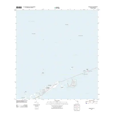
2012 · Grassy Key
USGS Topo · 1:24,000