
1971 Map of Crawl Key
USGS Topo · Published 1973About this map
Crawl Key and Little Crawl Key anchor this orthophotomap, showing the delicate landscape of the middle Florida Keys during the early 1970s. The aerial imagery, combined with topographic data, captures the thin thread of development along the Overseas Highway as it connects Grassy Key to the southwest. The marine environment dominates the sheet, revealing the complex underwater geography of Hawk Channel and the expansive Straits of Florida. Navigational markers like the Light near East Turtle Shoal and the reefs of Coffins Patch illustrate the maritime hazards that have long defined this stretch of coastline. South of Deer Point, the seafloor depth soundings provide a detailed record of the transition from the shallow waters of Florida Bay to the deeper blue of the open sea, documenting the area's geography just as modern tourism was beginning to reshape these coral islands.
Find a feature on this map
11 named features on this map. Tap any name to fly to it.
Don’t see what you’re looking for? This feature index may not catch every label — zoom into the map to look around manually.
Map Details
Editions of this 1971 Crawl Key Map
This is the sole edition of this map. No revisions or reprints were ever made.
Other maps of this area

1971 · Grassy Key
USGS Topo · 1:24,000

1971 · Marathon
USGS Topo · 1:24,000

1971 · Long Key
USGS Topo · 1:24,000

1972 · Marathon
USGS Topo · 1:24,000

1972 · Bamboo Key
USGS Topo · 1:24,000

1983 · Islamorada
USGS Topo · 1:100,000

1983 · Key West
USGS Topo · 1:100,000

1989 · Key West
USGS Topo · 1:250,000
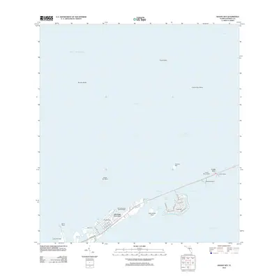
2012 · Grassy Key
USGS Topo · 1:24,000
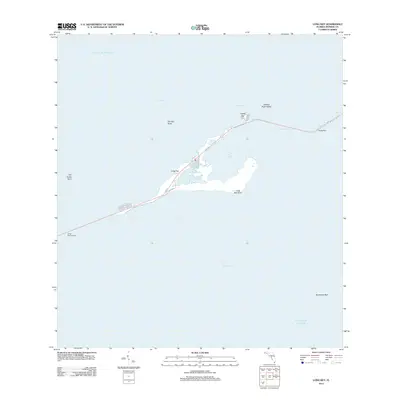
2012 · Long Key
USGS Topo · 1:24,000