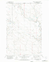
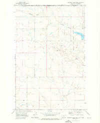
1972 Map of Creedman Coulee East
USGS Topo · Published 1975About this map
Lodge Creek meanders across the high plains of northern Hill County, crossing the international border where Saskatchewan and Montana meet. This 1972 survey captures a remote ranching landscape defined by intermittent water sources and expansive grazing lands. The Creedman Coulee National Wildlife Refuge dominates the western portion of the map, centered around the Creedman Reservoir, an essential water management feature in this arid environment.
Find a feature on this map
11 named features on this map. Tap any name to fly to it.
Don’t see what you’re looking for? This feature index may not catch every label — zoom into the map to look around manually.
Map Details
Editions of this 1972 Creedman Coulee East Map
This is the sole edition of this map. No revisions or reprints were ever made.
Other maps of this area

1912 · Thibedeau Lake
USGS Topo · 1:125,000

1953 · Havre
USGS Topo · 1:250,000

1957 · Havre
USGS Topo · 1:250,000

1958 · Havre
USGS Topo · 1:250,000

1972 · Hilldale Colony
USGS Topo · 1:24,000
1972 · Lake Thibadeau SW
USGS Topo · 1:24,000
1972 · Lake Thibadeau
USGS Topo · 1:24,000
1972 · Lake Thibadeau NE
USGS Topo · 1:24,000
1972 · Creedman Coulee West
USGS Topo · 1:24,000

1984 · Havre
USGS Topo · 1:100,000