
1972 Map of Hilldale Colony
USGS Topo · Published 1975About this map
Hilldale Colony serves as the primary human settlement in this section of Hill County, situated amidst a landscape defined by an intricate network of intermittent watercourses and natural depressions. The drainage patterns are dominated by Dog Coulee, Willow Coulee, and Staton Coulee, which carve through the terrain as it slopes toward low-lying catchment areas like McLean Reservoir and Grassy Lake. Evidence of local resource extraction is visible in several Gravel Pit locations, suggesting a reliance on the area's geological deposits for road maintenance and construction during the early 1970s.
Find a feature on this map
11 named features on this map. Tap any name to fly to it.
Don’t see what you’re looking for? This feature index may not catch every label — zoom into the map to look around manually.
Map Details
Editions of this 1972 Hilldale Colony Map
This is the sole edition of this map. No revisions or reprints were ever made.
Other maps of this area

1904 · Havre
USGS Topo · 1:62,500

1904 · Assinniboine
USGS Topo · 1:62,500

1912 · Thibedeau Lake
USGS Topo · 1:125,000

1953 · Havre
USGS Topo · 1:250,000

1957 · Havre
USGS Topo · 1:250,000

1958 · Havre
USGS Topo · 1:250,000

1964 · Havre NW
USGS Topo · 1:24,000
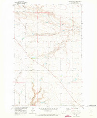
1970 · Quigley Coulee
USGS Topo · 1:24,000
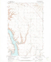
1970 · Kiehns Coulee
USGS Topo · 1:24,000
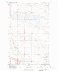
1972 · Lake Thibadeau SW
USGS Topo · 1:24,000