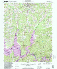
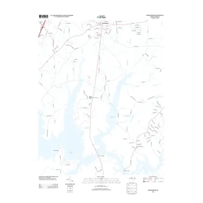
1998 Map of Creedmoor
USGS Topo · Published 2000About this map
The Seaboard Railroad and Old Telephone Road cut through the rolling landscape of southern Granville and northern Wake counties, anchoring the hub of Creedmoor. This late 20th-century topography reveals a transition from traditional rural settlements like Northside and Sandy Plain toward modern conservation and utility. Significant portions of the terrain are dedicated to the Butner-Falls of Neuse State Game Land and the Falls Lake State Recreation Area, which surround the sprawling waters of Falls Lake.
Find a feature on this map
37 named features on this map. Tap any name to fly to it.
Don’t see what you’re looking for? This feature index may not catch every label — zoom into the map to look around manually.
Map Details
Editions of this 1998 Creedmoor Map
This is the sole edition of this map. No revisions or reprints were ever made.
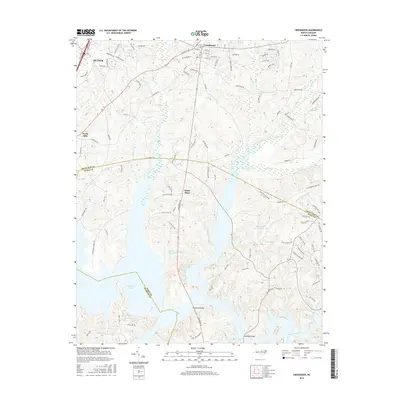
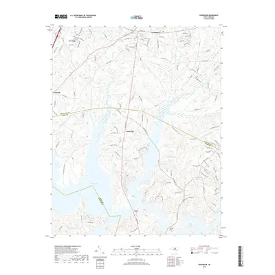
Historical Maps of Butner Through Time
9 maps found
1943 Creedmoor
Granville County, NC

1944 Creedmoor
Granville County, NC
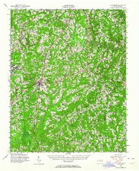
1974 Creedmoor
Granville County, NC
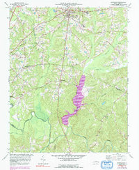
1998 Creedmoor
Granville County, NC
2010 Creedmoor
Granville County, NC
2013 Creedmoor
Granville County, NC
2016 Creedmoor
Granville County, NC
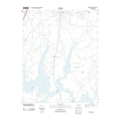
2019 Creedmoor
Granville County, NC
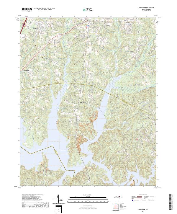
2022 Creedmoor
Granville County, NC