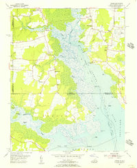
1954 Map of Creeds
USGS Topo · Published 1956About this map
North Landing River and the Intracoastal Waterway define this coastal landscape along the border of Virginia and North Carolina in the mid-1950s. The region is characterized by extensive wetlands and marshy inlets like Oakum Creek and Walnut Creek, which surround small farming communities and hamlets. Settlement is concentrated on higher ground, where the Creeds Sch and several country churches, including Kala Ch and Bethel Ch, served the local population.
Find a feature on this map
44 named features on this map. Tap any name to fly to it.
Don’t see what you’re looking for? This feature index may not catch every label — zoom into the map to look around manually.
Map Details
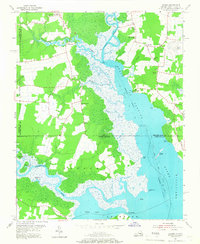
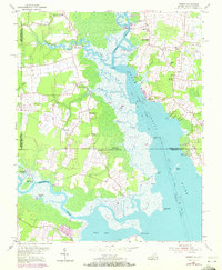
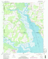
Editions of this 1954 Creeds Map
4 editions found
Other maps of this area

1893 · Virginia Beach
USGS Topo · 1:125,000

1916 · Back Bay
USGS Topo · 1:62,500

1939 · Moyock
USGS Topo · 1:62,500

1940 · Barco
USGS Topo · 1:62,500

1943 · Back Bay
USGS Topo · 1:62,500

1946 · Moyock
USGS Topo · 1:62,500

1946 · Eastville
USGS Topo · 1:250,000

1946 · Currituck Sound
USGS Topo · 1:250,000

1948 · Elizabeth City
USGS Topo · 1:62,500

1953 · Norfolk
USGS Topo · 1:250,000