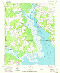
1954 Map of Creeds
USGS Topo · Published 1972About this map
North Landing River dominates this coastal borderland where Virginia and North Carolina meet, serving as a vital artery for the region's waterborne transit. The 1954 landscape, with 1971 revisions, reveals a pattern of rural settlements such as Creeds and Blackwater connected by a network of local roads and water inlets like Milldam Creek. The agricultural and social character of the area is anchored by numerous community landmarks, including Creeds School and a high density of rural houses of worship such as Oak Grove Church, Kala Church, and Princess Anne Church.
Find a feature on this map
40 named features on this map. Tap any name to fly to it.
Don’t see what you’re looking for? This feature index may not catch every label — zoom into the map to look around manually.
Map Details
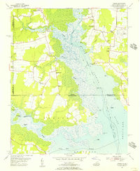
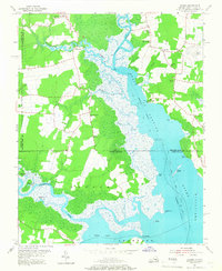
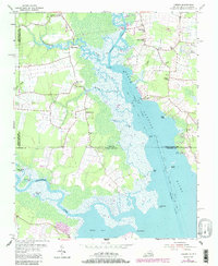
Editions of this 1954 Creeds Map
4 editions found
Other maps of this area

1893 · Virginia Beach
USGS Topo · 1:125,000

1916 · Back Bay
USGS Topo · 1:62,500

1939 · Moyock
USGS Topo · 1:62,500

1940 · Barco
USGS Topo · 1:62,500

1943 · Back Bay
USGS Topo · 1:62,500

1946 · Moyock
USGS Topo · 1:62,500

1946 · Eastville
USGS Topo · 1:250,000

1946 · Currituck Sound
USGS Topo · 1:250,000

1948 · Elizabeth City
USGS Topo · 1:62,500

1953 · Norfolk
USGS Topo · 1:250,000