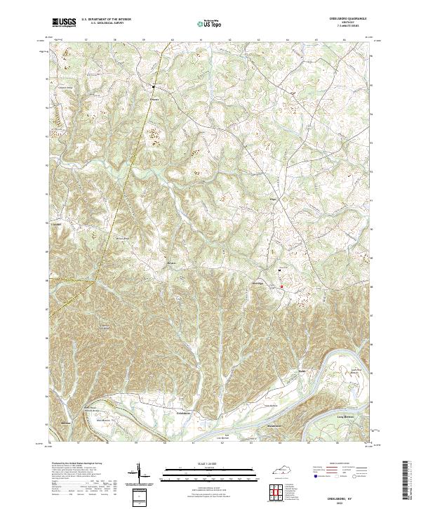
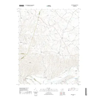
2022 Map of Creelsboro
USGS Topo · Published 2022About this map
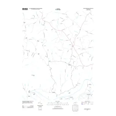
Creelsboro stands as a focal point along the northern banks of the Cumberland River, where the landscape is defined by wide river bottoms and high, dissected ridges. The topographic detail highlights the unique geography of Wells Bottom and Long Bottom, shaped by the river's meandering course. A notable geological landmark, the Rock House Natural Bridge, is situated just west of the town, illustrating the karst-influenced terrain typical of this part of Kentucky.
Find a feature on this map
96 named features on this map. Tap any name to fly to it.
Don’t see what you’re looking for? This feature index may not catch every label — zoom into the map to look around manually.
Map Details
Editions of this 2022 Creelsboro Map
This is the sole edition of this map. No revisions or reprints were ever made.
Historical Maps of Bryan Through Time
13 maps found
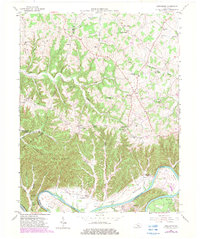
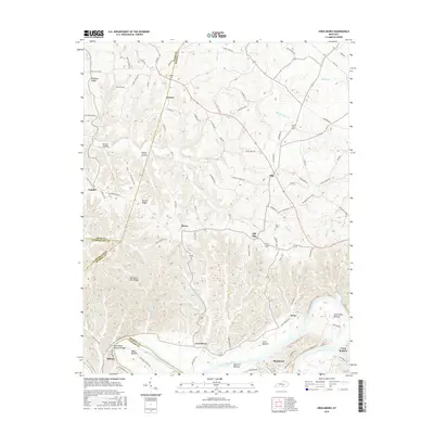
1953 Creelsboro
Russell County, KY
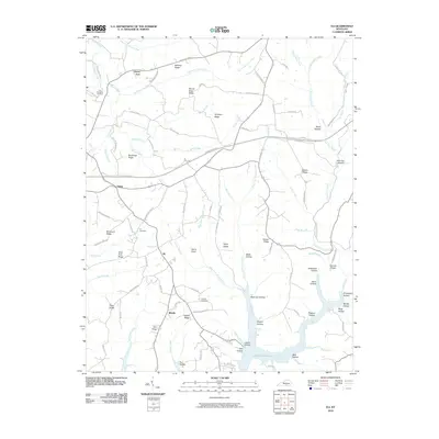
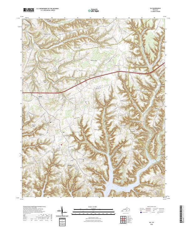
1954 Eli
Russell County, KY
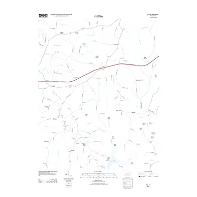
1973 Eli
Russell County, KY

2010 Creelsboro
Russell County, KY
2010 Eli
Russell County, KY
2013 Creelsboro
Russell County, KY
2013 Eli
Russell County, KY
2016 Creelsboro
Russell County, KY
2016 Eli
Russell County, KY
2019 Creelsboro
Russell County, KY
2019 Eli
Russell County, KY
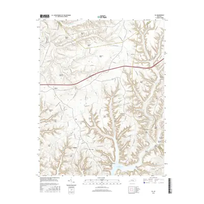
2022 Creelsboro
Russell County, KY
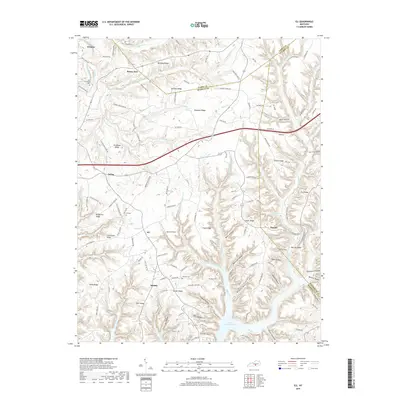
2022 Eli
Russell County, KY