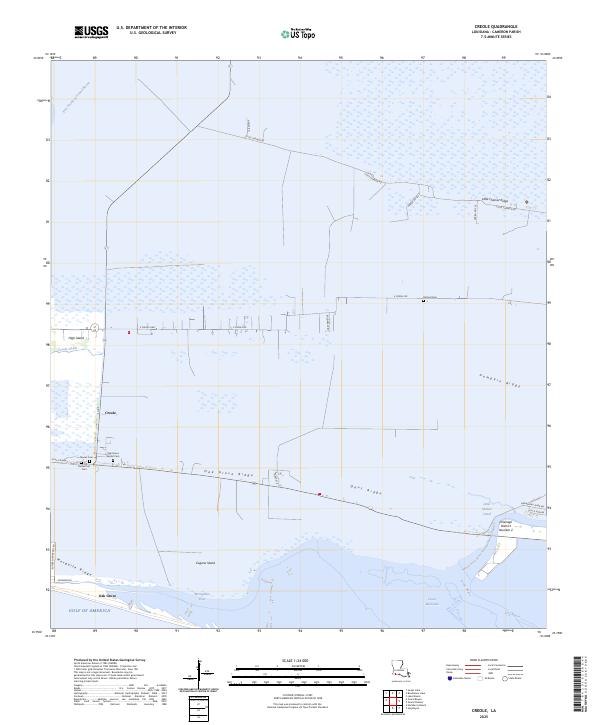
2025 Map of Creole
USGS Topo · Published 2025About this map
The low-lying coastal marshes of Cameron Parish define this landscape, where habitation follows the natural elevation of narrow cheniers. The settlement of Creole sits at the junction of local thoroughfares, while to the south, Oak Grove marks the transition toward the Gulf of America. This geography of ridges is a recurring theme, with Little Chenier Ridge, Pumpkin Ridge, and Oak Grove Ridge providing the only stable ground for homes, roads, and final resting places like the Richard Cem and Nunez Cem.
Find a feature on this map
38 named features on this map. Tap any name to fly to it.
Don’t see what you’re looking for? This feature index may not catch every label — zoom into the map to look around manually.
Map Details
Editions of this 2025 Creole Map
This is the sole edition of this map. No revisions or reprints were ever made.
Other maps of this area

1934 · Lake Misere
USGS Topo · 1:24,000

1934 · Sweet Lake
USGS Topo · 1:24,000

1934 · Grand Bayou
USGS Topo · 1:24,000

1934 · Boudreaux Lake
USGS Topo · 1:24,000

1935 · Sweet Lake
USGS Topo · 1:31,680

1935 · Lake Misere
USGS Topo · 1:31,680

1935 · Boudreaux Lake
USGS Topo · 1:31,680

1935 · Grand Bayou
USGS Topo · 1:31,680

1935 · Bay Labauve
USGS Topo · 1:31,680

1935 · Grand Chenier
USGS Topo · 1:31,680