
1966 Map of Cresbard
USGS Topo · Published 1968About this map
Cresbard sits as the central hub of this prairie landscape, where the town grid is clearly defined against the surrounding agricultural townships of Fairview, Myron, and Devoe. The hydrology of the region is dominated by the meandering North Fork Snake Creek, which winds through the western half of the sheet, and the distinctive Tomek Slough in the northeast corner. This 1966 field-checked survey preserves the remnants of transportation history, showing an Old Railroad Grade that once connected these rural communities but had already been decommissioned by the mid-1960s.
Find a feature on this map
17 named features on this map. Tap any name to fly to it.
Don’t see what you’re looking for? This feature index may not catch every label — zoom into the map to look around manually.
Map Details
Editions of this 1966 Cresbard Map
This is the sole edition of this map. No revisions or reprints were ever made.
Other maps of this area

1899 · Northville
USGS Topo · 1:125,000

1952 · Wecota
USGS Topo · 1:24,000

1952 · Faulkton East
USGS Topo · 1:24,000

1954 · Aberdeen
USGS Topo · 1:250,000

1956 · Aberdeen
USGS Topo · 1:250,000

1966 · Cresbard SE
USGS Topo · 1:24,000
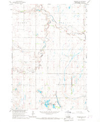
1966 · Cresbard SW
USGS Topo · 1:24,000
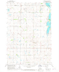
1966 · Cresbard NE
USGS Topo · 1:24,000

1970 · Mina SW
USGS Topo · 1:24,000
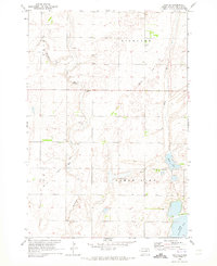
1970 · Mina SE
USGS Topo · 1:24,000