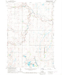
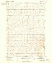
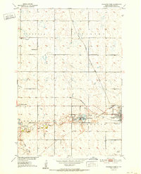
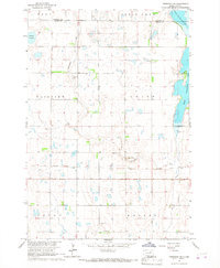
1966 Map of Cresbard SW
USGS Topo · Published 1967This historical map portrays the area of Cresbard SW in 1966, primarily covering Faulk County. Featuring a scale of 1:24000, this map provides a highly detailed snapshot of the terrain, roads, buildings, counties, and historical landmarks in the Cresbard SW region at the time. Published in 1967, it is the sole known edition of this map.
Find a feature on this map
14 named features on this map. Tap any name to fly to it.
Don’t see what you’re looking for? This feature index may not catch every label — zoom into the map to look around manually.
Map Details
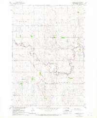
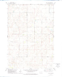
Editions of this 1966 Cresbard SW Map
This is the sole edition of this map. No revisions or reprints were ever made.
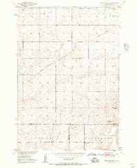
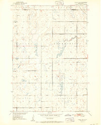
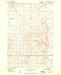
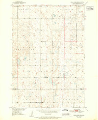
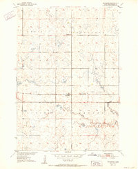
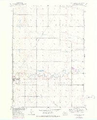
Historical Maps of Devoe Through Time
16 maps found
1950 Rezac Lake NE
Faulk County, SD
1951 Clark Lake
Faulk County, SD
1951 Orient NW
Faulk County, SD
1951 Rezac Lake NE
Faulk County, SD
1951 Rezac Lake NW
Faulk County, SD
1952 Burkmere
Faulk County, SD
1952 Faulkton East
Faulk County, SD
1952 Faulkton West
Faulk County, SD
1952 Norbeck
Faulk County, SD
1952 Onaka SW
Faulk County, SD
1952 Wecota
Faulk County, SD
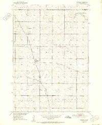
1966 Cresbard NE
Faulk County, SD
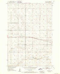
1966 Cresbard SE
Faulk County, SD
1966 Cresbard SW
Faulk County, SD

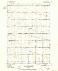
1966 Miranda
Faulk County, SD
1978 Bald Hills
Faulk County, SD