2021 Map of Crescent Mills
USGS Topo · Published 2021About this map
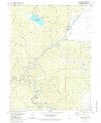
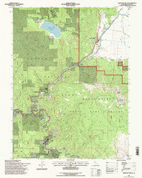
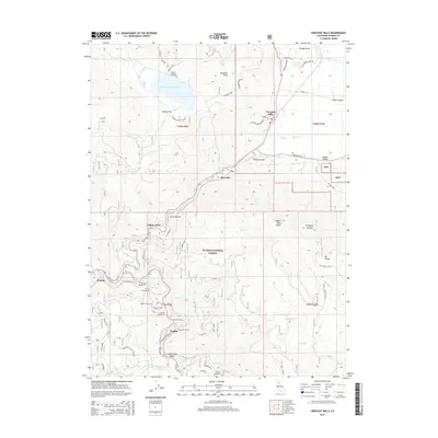
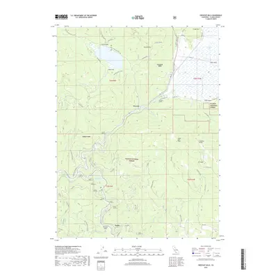
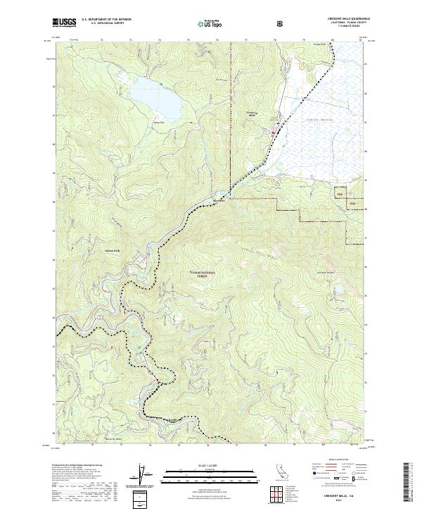
Crescent Mills serves as the primary settlement in this part of Indian Valley, where the local landscape is defined by the steep ridges of the Plumas National Forest. The map documents the complex water network of the northern Sierra Nevada, from the East Branch North Fork Feather River to the high elevations of Mt Hough. Evidence of the region's industrial past and transit history is visible through features like the Monitor Mine and the rail corridors winding through the canyons. Notable local landmarks include Indian Falls, the Crescent Mills Cem, and the small community of Keddie at the junction of Spanish Creek. The varied terrain ranges from the flat expanses of Bellas Flat to the prominent Hunodim Peak, illustrating the diverse topography of Plumas County.
Find a feature on this map
58 named features on this map. Tap any name to fly to it.
Don’t see what you’re looking for? This feature index may not catch every label — zoom into the map to look around manually.
Map Details
Editions of this 2021 Crescent Mills Map
This is the sole edition of this map. No revisions or reprints were ever made.
Historical Maps of Indian Falls Through Time
6 maps found