
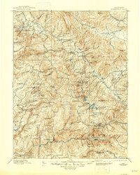
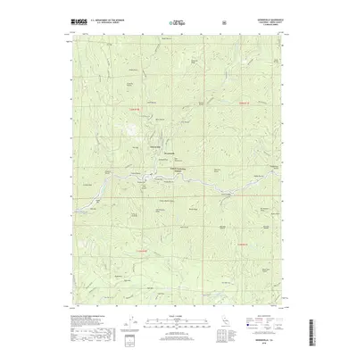
1893 Map of Downieville
USGS Topo · Published 1893About this map
Quincy and the surrounding gold-bearing canyons of the northern Sierra Nevada dominate this late nineteenth-century survey. The landscape is defined by the heavy footprint of industrial mining, from the Plumas Eureka and Young America Mine to the cluster of hydraulic and hard-rock sites at Whiskey Diggings, Port Wine, and La Porte. These settlements were often dictated by the proximity of water and ore, linked by the Sierra Turnpike winding through the complex drainages of the Middle Fork Feather River and the various forks of the Yuba River.
Find a feature on this map
201 named features on this map. Tap any name to fly to it.
Don’t see what you’re looking for? This feature index may not catch every label — zoom into the map to look around manually.
Map Details
Editions of this 1893 Downieville Map
This is the sole edition of this map. No revisions or reprints were ever made.
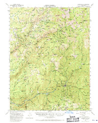
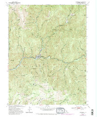
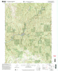
Historical Maps of Two Rivers Through Time
12 maps found

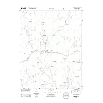
1891 Downieville
Sierra County, CA
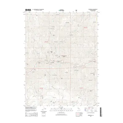
1893 Downieville
Sierra County, CA

1895 Downieville
Sierra County, CA

1896 Downieville
Sierra County, CA
1897 Downieville
Sierra County, CA
1951 Downieville
Sierra County, CA
1951 Downieville
Sierra County, CA
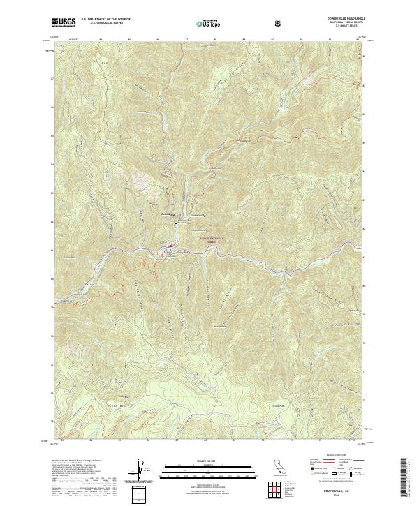
2000 Downieville
Sierra County, CA
2012 Downieville
Sierra County, CA
2015 Downieville
Sierra County, CA
2018 Downieville
Sierra County, CA
2021 Downieville
Sierra County, CA