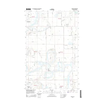
2014 Map of Creston
USGS Topo · Published 2014About this map
Flathead River meanders in complex oxbows and side channels across this landscape, defining the character of the Flathead Valley. The hydrological complexity of the region is evident in the numerous named sloughs, including McWenneger Slough, Egan Slough, and Church Slough, which dominate the lowlands between the settlements of Evergreen and Creston. This map captures a suburban and rural interface east of the river, where residential areas like Forest Hill Village sit near specialized local landmarks like the Wounded Buck Ranch Airport. Aviation is a notable theme in this part of Montana, with Weaver Airport and Sanders Airport providing small-scale airfield infrastructure. To the east, the terrain rises toward Lake Blaine and the borders of the Flathead Nat For, showing the transition from the fertile valley floor to the forested foothills.
Find a feature on this map
97 named features on this map. Tap any name to fly to it.
Don’t see what you’re looking for? This feature index may not catch every label — zoom into the map to look around manually.
Map Details
Editions of this 2014 Creston Map
This is the sole edition of this map. No revisions or reprints were ever made.
Other maps of this area

1943 · Kalispell
USGS Topo · 1:125,000

1957 · Kalispell
USGS Topo · 1:250,000

1960 · Kalispell
USGS Topo · 1:250,000

1961 · Kalispell
USGS Topo · 1:250,000

1962 · Columbia Falls South
USGS Topo · 1:24,000

1962 · Doris Mountain
USGS Topo · 1:24,000

1962 · Rose Crossing
USGS Topo · 1:24,000

1962 · Lion Mountain
USGS Topo · 1:24,000

1962 · Somers
USGS Topo · 1:24,000

1962 · Creston
USGS Topo · 1:24,000