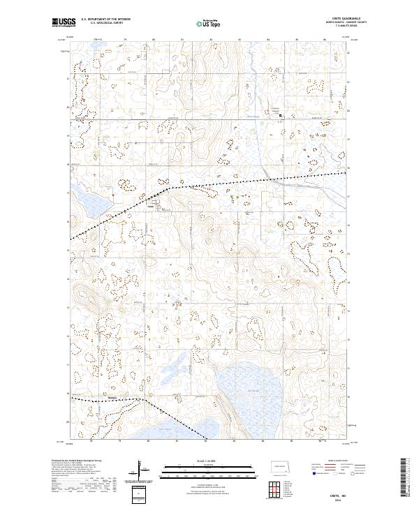
2024 Map of Crete
USGS Topo · Published 2024About this map
Crete and Hample serve as the primary focal points of this Sargent County landscape, characterized by a complex network of wetlands and conservation lands. The agricultural grid is punctuated by significant water bodies such as Lake Taayer, Bruns Slough, and Dill Slough, reflecting the prairie pothole geography of southeastern North Dakota. A notable portion of the terrain is dedicated to the Sargent County Waterfowl Production Area, signifying the importance of this region for wildlife habitat and seasonal migrations.
Find a feature on this map
29 named features on this map. Tap any name to fly to it.
Don’t see what you’re looking for? This feature index may not catch every label — zoom into the map to look around manually.
Map Details
Editions of this 2024 Crete Map
This is the sole edition of this map. No revisions or reprints were ever made.
Other maps of this area

1894 · Oakes
USGS Topo · 1:62,500

1895 · Lamoure
USGS Topo · 1:125,000

1918 · La Moure
USGS Topo · 1:125,000

1952 · Oakes
USGS Topo · 1:24,000

1952 · Crete
USGS Topo · 1:24,000

1953 · Jamestown
USGS Topo · 1:250,000

1953 · Fargo
USGS Topo · 1:250,000
1955 · Oakes SE
USGS Topo · 1:24,000

1956 · Fargo
USGS Topo · 1:250,000

1956 · Jamestown
USGS Topo · 1:250,000