Loading...
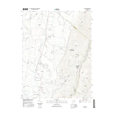
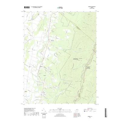
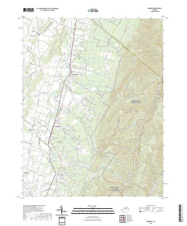
Loading map...1997 Map of Crimora
USGS Topo · Published 1999About this map
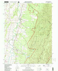
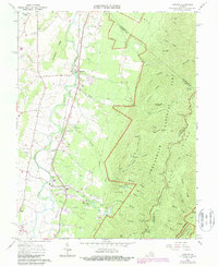
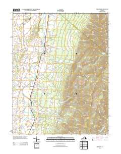
The South River valley serves as the primary corridor for settlement and industry in this 1990s record of Augusta County. Communities such as Crimora and Harriston are situated along the Norfolk and Western railway line, which parallels the river as it flows northward. The landscape is defined by the sharp transition from the valley floor to the high ridges of Shenandoah National Park, where the Skyline Drive and Blue Ridge Parkway wind through the mountains.
Find a feature on this map
57 named features on this map. Tap any name to fly to it.
Don’t see what you’re looking for? This feature index may not catch every label — zoom into the map to look around manually.
Map Details
Date Portrayed1997
Date Published1999
PublisherU.S. Geological Survey
Map TypeTopographic
Scale1:24,000
Physical Dimensions21.9 x 26.7 inches
Editions of this 1997 Crimora Map
This is the sole edition of this map. No revisions or reprints were ever made.
Historical Maps of Crimora Through Time
8 maps found

Featured Locations
Source Details
SourceU.S. Geological Survey
CopyrightPublic Domain