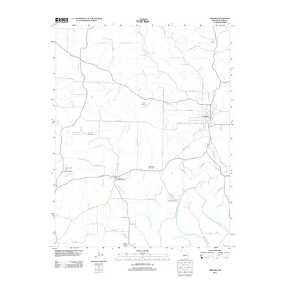
2011 Map of Crocker
USGS Topo · Published 2011About this map
The settlement of Crocker serves as a central hub in this Pulaski County landscape, situated at a junction of roads and rail routes that navigate the undulating terrain of the Missouri Ozarks. To the southwest, the smaller community of Swedeborg is tucked near the Crumley Branch, while the Swede Lookout Tower stands as a prominent waypoint nearby. The rural character of the area is defined by its deep-rooted social infrastructure, including the Liberty School and ancestral resting places such as the Johnson Cemetery, Swede Cemetery, and Schlight Cemetery.
Find a feature on this map
55 named features on this map. Tap any name to fly to it.
Don’t see what you’re looking for? This feature index may not catch every label — zoom into the map to look around manually.
Map Details
Editions of this 2011 Crocker Map
This is the sole edition of this map. No revisions or reprints were ever made.
Other maps of this area

1888 · Tuscumbia
USGS Topo · 1:125,000

1894 · Tuscumbia
USGS Topo · 1:125,000

1933 · Iberia
USGS Topo · 1:62,500

1936 · Waynesville
USGS Topo · 1:48,000

1937 · Iberia
USGS Topo · 1:62,500

1942 · Waynesville
USGS Topo · 1:62,500

1943 · Richland
USGS Topo · 1:62,500

1944 · Waynesville
USGS Topo · 1:62,500

1947 · Jefferson City
USGS Topo · 1:250,000

1948 · Tavern
USGS Topo · 1:62,500