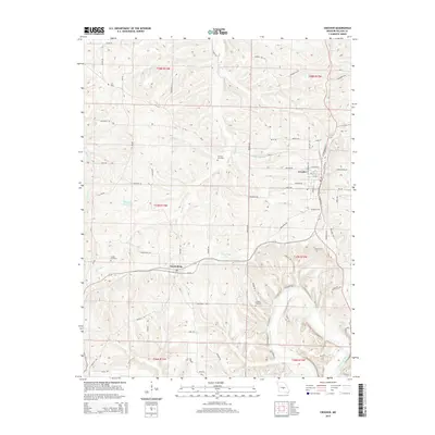
2015 Map of Crocker
USGS Topo · Published 2015About this map
Crocker and Swedeborg anchor this portion of Pulaski County, where the Ozark plateau begins its descent toward the winding Gasconade River. The landscape is defined by a dense network of creek drainages including Tavern Cr, Crumley Br, and Gunlock Cr, which have carved deep valleys into the terrain. Local history is preserved through scattered burial grounds like Swede Cemetery, Johnson Cemetery, and Schlight Cemetery, marking the early settlement nodes of the region.
Find a feature on this map
78 named features on this map. Tap any name to fly to it.
Don’t see what you’re looking for? This feature index may not catch every label — zoom into the map to look around manually.
Map Details
Editions of this 2015 Crocker Map
This is the sole edition of this map. No revisions or reprints were ever made.
Other maps of this area

1888 · Tuscumbia
USGS Topo · 1:125,000

1894 · Tuscumbia
USGS Topo · 1:125,000

1933 · Iberia
USGS Topo · 1:62,500

1936 · Waynesville
USGS Topo · 1:48,000

1937 · Iberia
USGS Topo · 1:62,500

1942 · Waynesville
USGS Topo · 1:62,500

1943 · Richland
USGS Topo · 1:62,500

1944 · Waynesville
USGS Topo · 1:62,500

1947 · Jefferson City
USGS Topo · 1:250,000

1948 · Tavern
USGS Topo · 1:62,500