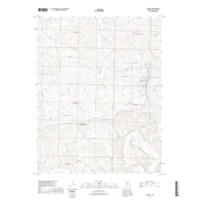
2017 Map of Crocker
USGS Topo · Published 2017About this map
Crocker and the smaller settlement of Swedeborg occupy the high ground of the Ozark Plateau in this Pulaski County landscape. The terrain is deeply incised by a network of drainage systems, most notably Tavern Cr and its tributaries such as Crews Br and Deane Cr, which eventually lead toward the Gasconade River at the map's southeastern corner. This drainage pattern dictates the irregular path of local roads like Bakersville Rd and Brooklyn Rd, which wind along ridges to avoid the steep hollows.
Find a feature on this map
78 named features on this map. Tap any name to fly to it.
Don’t see what you’re looking for? This feature index may not catch every label — zoom into the map to look around manually.
Map Details
Editions of this 2017 Crocker Map
This is the sole edition of this map. No revisions or reprints were ever made.
Other maps of this area

1888 · Tuscumbia
USGS Topo · 1:125,000

1894 · Tuscumbia
USGS Topo · 1:125,000

1933 · Iberia
USGS Topo · 1:62,500

1936 · Waynesville
USGS Topo · 1:48,000

1937 · Iberia
USGS Topo · 1:62,500

1942 · Waynesville
USGS Topo · 1:62,500

1943 · Richland
USGS Topo · 1:62,500

1944 · Waynesville
USGS Topo · 1:62,500

1947 · Jefferson City
USGS Topo · 1:250,000

1948 · Tavern
USGS Topo · 1:62,500