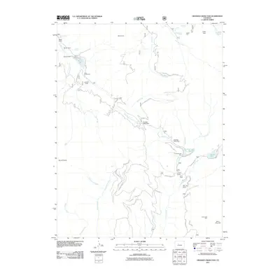
2011 Map of Crooked Creek Pass
USGS Topo · Published 2011About this map
Fulford Mine sits in the northeast corner of this high-elevation terrain, a reminder of the extraction history that once defined these mountains. The landscape is dominated by a complex network of drainages including West Brush Creek, Hat Creek, and Jakeman Creek, which flow around significant peaks like Mount Eve and Craig Peak. Water management and recreational infrastructure are evident at Sylvan Lake and the Crooked Creek Reservoir, where the Crooked Creek Dam regulates the flow of Crooked Creek.
Find a feature on this map
52 named features on this map. Tap any name to fly to it.
Don’t see what you’re looking for? This feature index may not catch every label — zoom into the map to look around manually.
Map Details
Editions of this 2011 Crooked Creek Pass Map
This is the sole edition of this map. No revisions or reprints were ever made.
Other maps of this area

1909 · Mount Jackson
USGS Topo · 1:125,000

1911 · Mount Jackson
USGS Topo · 1:125,000

1957 · Leadville
USGS Topo · 1:250,000

1959 · Leadville
USGS Topo · 1:250,000

1960 · Leadville
USGS Topo · 1:250,000

1961 · Ruedi
USGS Topo · 1:24,000

1961 · Red Creek
USGS Topo · 1:24,000

1962 · Leadville
USGS Topo · 1:250,000

1962 · Grouse Mountain
USGS Topo · 1:24,000

1962 · Fulford
USGS Topo · 1:24,000