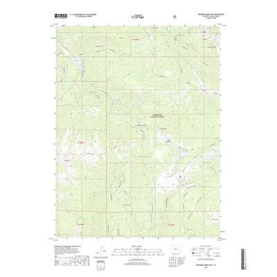
2019 Map of Crooked Creek Pass
USGS Topo · Published 2019About this map
White River National Forest defines this high-altitude landscape in Eagle County, where the topography rises toward Mount Thomas and Craig Peak. This 2019 survey documents a network of mountain roads and drainage systems, including the Crooked Cr Reservoir and the headwaters of Hat Creek. Of particular interest to historical researchers is the Gold Dust site situated near the northeastern corner of the map, a remnant of the region's mineral prospecting past. The sheet details the complex hydrology of the area, featuring numerous named springs like Fulford Cave Spring and Billings Spring. The primary corridor, the Eagle-Thomasville road, winds through significant clearings such as Yeoman Park and Crooked Creek Park, providing access to the high-country pass that gives this quadrangle its name.
Find a feature on this map
60 named features on this map. Tap any name to fly to it.
Don’t see what you’re looking for? This feature index may not catch every label — zoom into the map to look around manually.
Map Details
Editions of this 2019 Crooked Creek Pass Map
This is the sole edition of this map. No revisions or reprints were ever made.
Other maps of this area

1909 · Mount Jackson
USGS Topo · 1:125,000

1911 · Mount Jackson
USGS Topo · 1:125,000

1957 · Leadville
USGS Topo · 1:250,000

1959 · Leadville
USGS Topo · 1:250,000

1960 · Leadville
USGS Topo · 1:250,000

1961 · Ruedi
USGS Topo · 1:24,000

1961 · Red Creek
USGS Topo · 1:24,000

1962 · Leadville
USGS Topo · 1:250,000

1962 · Grouse Mountain
USGS Topo · 1:24,000

1962 · Fulford
USGS Topo · 1:24,000