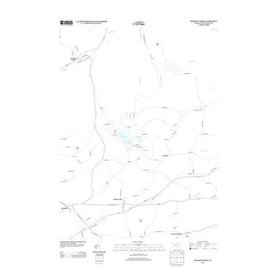
2013 Map of Crooked Creek
USGS Topo · Published 2013About this map
Hills Creek Lake serves as a central geographic feature in this part of Tioga County, flanked by Tauscher Pond and the surrounding heights of Bald Hill. The landscape is defined by the headwaters and tributaries that feed the regional drainage system, including Hills Creek, Stephenhouse Run, and Lambs Creek as they move toward the Tioga River in the northeast corner. Small rural settlements and crossroads such as Whitneyville, Mardin, and Crooked Creek provide historical anchors for genealogists and local researchers tracing the development of Pennsylvania's northern tier. The road network, including Ore Bed Road and Cobb Road, suggests a history of local industry and transport between these upland communities and the more developed corridors near West Covington and Charleston.
Find a feature on this map
84 named features on this map. Tap any name to fly to it.
Don’t see what you’re looking for? This feature index may not catch every label — zoom into the map to look around manually.
Map Details
Editions of this 2013 Crooked Creek Map
This is the sole edition of this map. No revisions or reprints were ever made.
Other maps of this area

1900 · Tioga
USGS Topo · 1:62,500

1900 · Elkland
USGS Topo · 1:62,500

1902 · Tioga
USGS Topo · 1:62,500

1925 · Blossburg
USGS Topo · 1:62,500

1927 · Blossburg
USGS Topo · 1:62,500

1944 · Blossburg
USGS Topo · 1:62,500

1946 · Antrim
USGS Topo · 1:62,500

1946 · Antrim
USGS Topo · 1:24,000

1948 · Antrim
USGS Topo · 1:24,000

1954 · Williamsport
USGS Topo · 1:250,000
Featured Places
- Tioga Township, PA
- Crooked Creek, Middlebury Township
- Whitneyville, Charleston Township
- Middlebury Township, PA
- Covington Township, PA