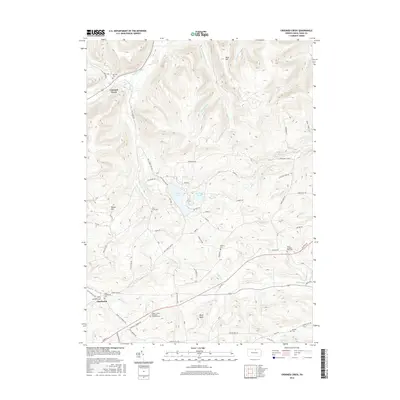
2016 Map of Crooked Creek
USGS Topo · Published 2016About this map
Hills Creek Lake and Tauscher Pond anchor the center of this Tioga County landscape, where the terrain transitions from the high elevations of Bald Hill and Reese Hill toward the valleys of Crooked Creek. The settlement pattern follows the drainages and ridges, with the community of Charleston situated in the southwest corner near Catlin Hollow.
Find a feature on this map
71 named features on this map. Tap any name to fly to it.
Don’t see what you’re looking for? This feature index may not catch every label — zoom into the map to look around manually.
Map Details
Editions of this 2016 Crooked Creek Map
This is the sole edition of this map. No revisions or reprints were ever made.
Other maps of this area

1900 · Tioga
USGS Topo · 1:62,500

1900 · Elkland
USGS Topo · 1:62,500

1902 · Tioga
USGS Topo · 1:62,500

1925 · Blossburg
USGS Topo · 1:62,500

1927 · Blossburg
USGS Topo · 1:62,500

1944 · Blossburg
USGS Topo · 1:62,500

1946 · Antrim
USGS Topo · 1:62,500

1946 · Antrim
USGS Topo · 1:24,000

1948 · Antrim
USGS Topo · 1:24,000

1954 · Williamsport
USGS Topo · 1:250,000
Featured Places
- Tioga Township, PA
- Crooked Creek, Middlebury Township
- Whitneyville, Charleston Township
- Middlebury Township, PA
- Covington Township, PA