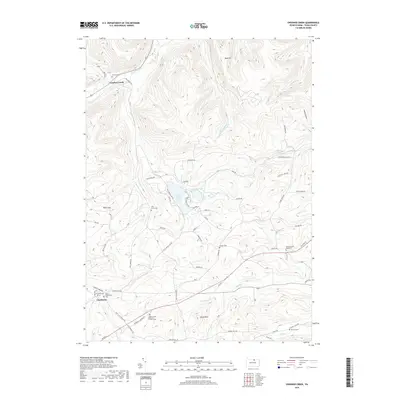
2019 Map of Crooked Creek
USGS Topo · Published 2019About this map
Crooked Creek and Charleston anchor this portion of Tioga County, where a high density of rural burial grounds provides a rich record for family researchers. From the Dartt Settlement Cem and Old Dartt Cem in the southwest to the North Schodac Road Cem and Bullock Cem further east, these sites mark the legacy of the area's early families. The landscape is defined by its water and high points, featuring Hills Creek Lake and Tauscher Pond set against the backdrop of Reese Hill and Bluff Point. A complex network of drainage, including Brown Run, Stephensons Run, and Ives Run, carves through the terrain, illustrating the natural watershed that feeds into the larger valley systems of north-central Pennsylvania.
Find a feature on this map
68 named features on this map. Tap any name to fly to it.
Don’t see what you’re looking for? This feature index may not catch every label — zoom into the map to look around manually.
Map Details
Editions of this 2019 Crooked Creek Map
This is the sole edition of this map. No revisions or reprints were ever made.
Other maps of this area

1900 · Tioga
USGS Topo · 1:62,500

1900 · Elkland
USGS Topo · 1:62,500

1902 · Tioga
USGS Topo · 1:62,500

1925 · Blossburg
USGS Topo · 1:62,500

1927 · Blossburg
USGS Topo · 1:62,500

1944 · Blossburg
USGS Topo · 1:62,500

1946 · Antrim
USGS Topo · 1:62,500

1946 · Antrim
USGS Topo · 1:24,000

1948 · Antrim
USGS Topo · 1:24,000

1954 · Williamsport
USGS Topo · 1:250,000
Featured Places
- Tioga Township, PA
- Crooked Creek, Middlebury Township
- Whitneyville, Charleston Township
- Middlebury Township, PA
- Covington Township, PA