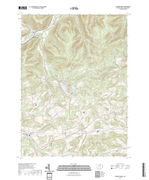
2023 Map of Crooked Creek
USGS Topo · Published 2023About this map
Hills Creek Lake serves as a central landmark in this part of Tioga County, where the valley topography is defined by the winding course of Hills Creek and Crooked Creek. The landscape is dotted with numerous small family and community burial grounds, such as Bullock Cem, Fairview Cem, and North Schodac Road Cem, suggesting a long history of rural settlement and local genealogy. Near the southern edge of the map, the settlement of Charleston and the nearby Dartt Settlement Cem mark nodes of historical residence.
Find a feature on this map
80 named features on this map. Tap any name to fly to it.
Don’t see what you’re looking for? This feature index may not catch every label — zoom into the map to look around manually.
Map Details
Editions of this 2023 Crooked Creek Map
This is the sole edition of this map. No revisions or reprints were ever made.
Other maps of this area

1900 · Tioga
USGS Topo · 1:62,500

1900 · Elkland
USGS Topo · 1:62,500

1902 · Tioga
USGS Topo · 1:62,500

1925 · Blossburg
USGS Topo · 1:62,500

1927 · Blossburg
USGS Topo · 1:62,500

1944 · Blossburg
USGS Topo · 1:62,500

1946 · Antrim
USGS Topo · 1:62,500

1946 · Antrim
USGS Topo · 1:24,000

1948 · Antrim
USGS Topo · 1:24,000

1954 · Williamsport
USGS Topo · 1:250,000
Featured Places
- Middlebury Township, PA
- Richmond Township, PA
- Tioga Township, PA
- Covington Township, PA
- Mardin, Richmond Township