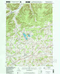
1994 Map of Crooked Creek
USGS Topo · Published 1999About this map
Hills Creek Lake sits at the center of this Tioga County landscape, anchored by the recreational grounds of Hills Creek State Park. The geography transitions from the northern highlands of State Game Lands No 37 and Bald Hill down into the rural valley settlements of Whitneyville and East Charleston. This 1990s record, based on foundational 1950s topography, reveals a deeply established community fabric of small churches and family-named landmarks.
Find a feature on this map
37 named features on this map. Tap any name to fly to it.
Don’t see what you’re looking for? This feature index may not catch every label — zoom into the map to look around manually.
Map Details
Editions of this 1994 Crooked Creek Map
This is the sole edition of this map. No revisions or reprints were ever made.
Other maps of this area

1900 · Tioga
USGS Topo · 1:62,500

1900 · Elkland
USGS Topo · 1:62,500

1902 · Tioga
USGS Topo · 1:62,500

1925 · Blossburg
USGS Topo · 1:62,500

1927 · Blossburg
USGS Topo · 1:62,500

1944 · Blossburg
USGS Topo · 1:62,500

1946 · Antrim
USGS Topo · 1:62,500

1946 · Antrim
USGS Topo · 1:24,000

1948 · Antrim
USGS Topo · 1:24,000

1954 · Williamsport
USGS Topo · 1:250,000
Featured Places
- Tioga Township, PA
- Middlebury Township, PA
- Whitneyville, Charleston Township
- Richmond Township, PA
- Crooked Creek, Middlebury Township