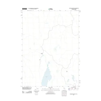
2011 Map of Crooks Meadow
USGS Topo · Published 2011About this map
Crooks Ranch sits at the heart of this high-desert landscape on the Nevada-California border. The terrain is defined by a sparse but vital network of water sources, from the prominent New Year Lake to smaller catchments such as Frog Pond and the curiously named Pennywinkle Holes. These features suggest a history of seasonal ranching and grazing where reliable water dictated the locations of human activity and livestock management.
Find a feature on this map
8 named features on this map. Tap any name to fly to it.
Don’t see what you’re looking for? This feature index may not catch every label — zoom into the map to look around manually.
Map Details
Editions of this 2011 Crooks Meadow Map
This is the sole edition of this map. No revisions or reprints were ever made.
Other maps of this area

1886 · Alturas
USGS Topo · 1:250,000

1889 · Long Valley
USGS Topo · 1:250,000

1892 · Alturas
USGS Topo · 1:250,000

1954 · Vya
USGS Topo · 1:250,000

1954 · Alturas
USGS Topo · 1:250,000

1958 · Alturas
USGS Topo · 1:250,000

1958 · Vya
USGS Topo · 1:250,000

1962 · Alturas
USGS Topo · 1:250,000

1962 · Vya
USGS Topo · 1:250,000

1962 · Cedarville
USGS Topo · 1:62,500