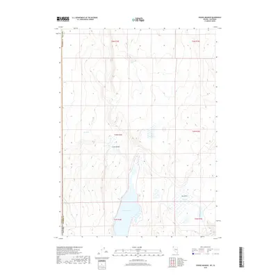
2018 Map of Crooks Meadow
USGS Topo · Published 2018About this map
New Year Lake dominates the central basin of this high-desert landscape on the border of Nevada and California. The 2018 survey reveals a terrain defined by subtle water sources and seasonal wetlands, with Crooks Meadow and Big Spring providing rare riparian relief in the northern sections. This high-altitude basin, sitting at the junction of Washoe County and Modoc County, illustrates the sparse settlement patterns of the Great Basin. To the east, Holy Valley contains Holy Lake and is drained by Berrey Brook, while unusual features like Pennywinkle Holes and Frog Pond punctuate the arid uplands. The Public Land Survey System grid (including T45N R18E) remains the primary organizational structure for this vast, uninhabited borderland.
Find a feature on this map
18 named features on this map. Tap any name to fly to it.
Don’t see what you’re looking for? This feature index may not catch every label — zoom into the map to look around manually.
Map Details
Editions of this 2018 Crooks Meadow Map
This is the sole edition of this map. No revisions or reprints were ever made.
Other maps of this area

1886 · Alturas
USGS Topo · 1:250,000

1889 · Long Valley
USGS Topo · 1:250,000

1892 · Alturas
USGS Topo · 1:250,000

1954 · Vya
USGS Topo · 1:250,000

1954 · Alturas
USGS Topo · 1:250,000

1958 · Alturas
USGS Topo · 1:250,000

1958 · Vya
USGS Topo · 1:250,000

1962 · Alturas
USGS Topo · 1:250,000

1962 · Vya
USGS Topo · 1:250,000

1962 · Cedarville
USGS Topo · 1:62,500