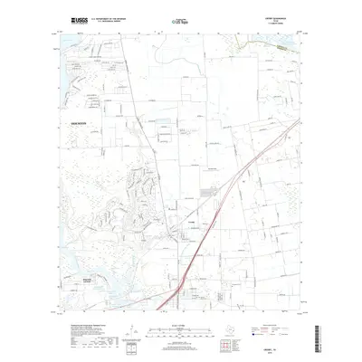
2019 Map of Crosby
USGS Topo · Published 2019About this map
Crosby and Magnolia Gardens anchor this coastal plain landscape where the San Jacinto River and its associated bayous meet the eastern shores of Lake Houston. The geography is defined by a dense network of water management and industrial features, including the San Jacinto River Authority Canal, Sludge Fill Pond Number 1, and several large reservoirs like Enderli Reservoir. The Union Pacific railroad cuts a straight line through the center of Crosby, paralleling the primary highway corridor and marking the historical spine of local transport.
Find a feature on this map
181 named features on this map. Tap any name to fly to it.
Don’t see what you’re looking for? This feature index may not catch every label — zoom into the map to look around manually.
Map Details
Editions of this 2019 Crosby Map
This is the sole edition of this map. No revisions or reprints were ever made.
Other maps of this area

1916 · Burnett Bay
USGS Topo · 1:24,000

1916 · Crosby
USGS Topo · 1:24,000

1916 · Fauna
USGS Topo · 1:24,000

1916 · Harmaston
USGS Topo · 1:24,000

1916 · Moonshine Hill
USGS Topo · 1:24,000

1916 · Cedar Bayou
USGS Topo · 1:24,000

1916 · Huffman
USGS Topo · 1:24,000

1919 · Crosby
USGS Topo · 1:31,680

1919 · Cedar Bayou
USGS Topo · 1:31,680
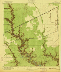
1920 · Fauna
USGS Topo · 1:31,680