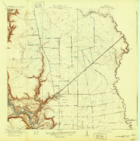
1919 Map of Crosby
USGS Topo · Published 1932About this map
Crosby serves as the central hub of this East Texas survey, situated where the Texas and New Orleans railroad line cuts through the coastal prairie. The landscape is defined by the winding course of the San Jacinto River to the west and Cedar Bayou to the east, creating a network of oxbow lakes and wetlands including Bakers Lake, Eddy Lake, and Blacks Lake. This 1916 survey, published in the early 20th century, reveals a rural economy supported by local infrastructure like the Adlong Ditch and a series of neighborhood schools.
Find a feature on this map
27 named features on this map. Tap any name to fly to it.
Don’t see what you’re looking for? This feature index may not catch every label — zoom into the map to look around manually.
Map Details
Editions of this 1919 Crosby Map
3 editions found
Other maps of this area

1916 · Burnett Bay
USGS Topo · 1:24,000

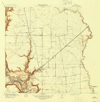
1916 · Crosby
USGS Topo · 1:24,000

1916 · Fauna
USGS Topo · 1:24,000

1916 · Harmaston
USGS Topo · 1:24,000

1916 · Moonshine Hill
USGS Topo · 1:24,000

1916 · Cedar Bayou
USGS Topo · 1:24,000

1916 · Huffman
USGS Topo · 1:24,000

1919 · Crosby
USGS Topo · 1:31,680

1919 · Cedar Bayou
USGS Topo · 1:31,680
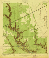
1920 · Fauna
USGS Topo · 1:31,680