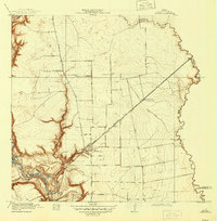
1919 Map of Crosby
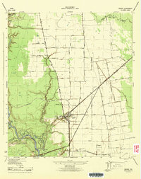
USGS Topo · Published 1945About this map
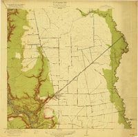
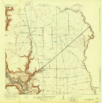
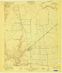
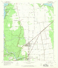
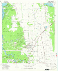
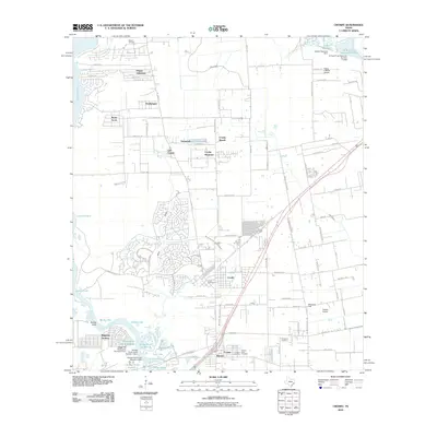
Crosby sits at a critical rail junction in northeastern Harris County, where the Southern Pacific and the Texas and New Orleans and Liberty Houston railroads intersect. This 1916 survey, published in 1919, captures a landscape defined by its riparian boundaries and agricultural infrastructure. The San Jacinto River carves a deep, braided path through the western portion of the map, creating a series of named water bodies like Bakers Lake, Clarks Lake, and Granite Lake.
Find a feature on this map
26 named features on this map. Tap any name to fly to it.
Don’t see what you’re looking for? This feature index may not catch every label — zoom into the map to look around manually.
Map Details
Editions of this 1919 Crosby Map
3 editions found
Historical Maps of Houston Through Time
11 maps found
1916 Crosby
Harris County, TX
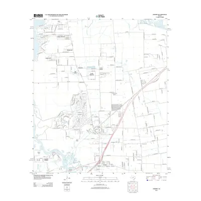
1919 Crosby
Harris County, TX
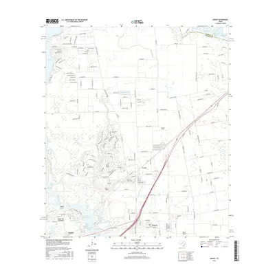
1944 Crosby
Harris County, TX

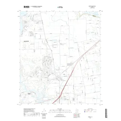
1954 Crosby
Harris County, TX
1967 Crosby
Harris County, TX
1982 Crosby
Harris County, TX
2010 Crosby
Harris County, TX
2013 Crosby
Harris County, TX
2016 Crosby
Harris County, TX
2019 Crosby
Harris County, TX
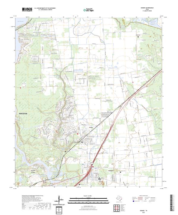
2023 Crosby
Harris County, TX