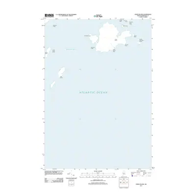
2011 Map of Cross Island
USGS Topo · Published 2011About this map
Cross Island dominates this maritime survey of the outer reaches of Machias Bay, where the Maine coast meets the open Atlantic Ocean. This landscape is defined by its isolation and the hazards of the sea, marked by numerous outcrops and landforms such as Seashore Ledge, Thornton Point Ledge, and Seal Cove Ledge. The cluster of landmasses including Mink Island, Scotch Island, and the Double Head Shot Islands illustrates the fragmented nature of the Downeast shoreline. To the southwest, the Libby Islands stand as lonely outposts in the Atlantic. The survey captures these landforms at a specific moment in 2011, providing a detailed record of coastal geography, including prominent elevations like Northwest Head and Cross Island Head that have long served as vital navigational landmarks for those working the cold waters of Washington County.
Find a feature on this map
17 named features on this map. Tap any name to fly to it.
Don’t see what you’re looking for? This feature index may not catch every label — zoom into the map to look around manually.
Map Details
Editions of this 2011 Cross Island Map
This is the sole edition of this map. No revisions or reprints were ever made.
Other maps of this area

1917 · Cutler
USGS Topo · 1:62,500

1918 · Machias
USGS Topo · 1:62,500

1918 · Cutler
USGS Topo · 1:62,500

1941 · Machias
USGS Topo · 1:62,500

1948 · Roque Bluffs
USGS Topo · 1:24,000
1949 · Machias
USGS Topo · 1:24,000
1949 · Cutler
USGS Topo · 1:24,000
1949 · Cross Island
USGS Topo · 1:24,000
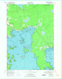
1949 · Machias Bay
USGS Topo · 1:24,000
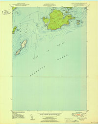
1950 · Cross Island
USGS Topo · 1:24,000