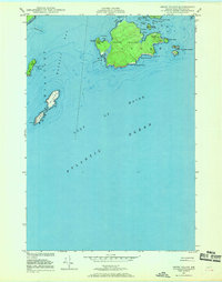
1949 Map of Cross Island
USGS Topo · Published 1969About this map
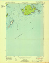
Cross Island dominates this 1949 maritime survey, positioned at the entrance to Machias Bay where it faces the open Gulf of Maine. The island's eastern shore is anchored by the Cross Island Coast Guard Sta, accompanied by a Tower and a Daybeacon, highlighting its role in coastal navigation and safety during the post-war era. The survey captures a network of smaller landforms including Stone Island, Mink Island, and the evocatively named Double Head Shot Islands. To the southwest, the Libby Islands stand as a critical maritime outpost, marked by a prominent Lighthouse. This hydrographic and topographic study reflects data collected through 1946 aerial photography and 1949 field checks, while the underwater depth contours and sounding data originate from historical surveys dating back to 1885 and 1886. The map illustrates a landscape of protected inlets like Northwest Harbor and Northeast Harbor contrasted against exposed maritime hazards such as Seashore Ledge and Seal Cove Ledge.
Find a feature on this map
30 named features on this map. Tap any name to fly to it.
Don’t see what you’re looking for? This feature index may not catch every label — zoom into the map to look around manually.
Map Details
Editions of this 1949 Cross Island Map
2 editions found
Other maps of this area

1917 · Cutler
USGS Topo · 1:62,500

1918 · Machias
USGS Topo · 1:62,500

1918 · Cutler
USGS Topo · 1:62,500

1941 · Machias
USGS Topo · 1:62,500

1948 · Roque Bluffs
USGS Topo · 1:24,000
1949 · Machias
USGS Topo · 1:24,000
1949 · Cutler
USGS Topo · 1:24,000
1949 · Machias Bay
USGS Topo · 1:24,000
1950 · Cross Island
USGS Topo · 1:24,000
1951 · Machias
USGS Topo · 1:24,000