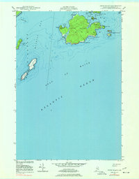
1949 Map of Cross Island
USGS Topo · Published 1978About this map
The Cross Island Coast Guard Sta and its adjacent Tower anchor this maritime survey of the outer islands of Cutler, Maine. Positioned at the mouth of Machias Bay, this landscape is defined by the strategic navigation of the Gulf of Maine and the Atlantic Ocean. The survey captures the jagged coastline of Cross Island, which features deeply recessed coves like Northwest Harbor and Seal Cove.
Find a feature on this map
28 named features on this map. Tap any name to fly to it.
Don’t see what you’re looking for? This feature index may not catch every label — zoom into the map to look around manually.
Map Details
Editions of this 1949 Cross Island Map
2 editions found
Other maps of this area

1917 · Cutler
USGS Topo · 1:62,500

1918 · Machias
USGS Topo · 1:62,500

1918 · Cutler
USGS Topo · 1:62,500

1941 · Machias
USGS Topo · 1:62,500

1948 · Roque Bluffs
USGS Topo · 1:24,000
1949 · Machias
USGS Topo · 1:24,000
1949 · Cutler
USGS Topo · 1:24,000
1949 · Cross Island
USGS Topo · 1:24,000
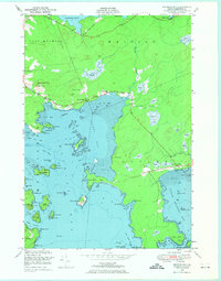
1949 · Machias Bay
USGS Topo · 1:24,000
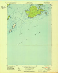
1950 · Cross Island
USGS Topo · 1:24,000