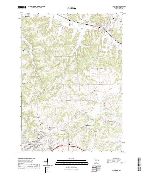
2022 Map of Cross Plains
USGS Topo · Published 2022About this map
Black Earth Cr and the Sugar River define the winding drainage patterns of this Dane County landscape, where the settlements of Cross Plains and Mount Horeb anchor the regional geography. The map reveals a high concentration of Lutheran and Catholic heritage sites, including the Vermont Lutheran Church Cem and Saint Mary of Pine Bluff Church. These sites, along with the First Norwegian Lutheran Cem, provide a clear window into the immigrant settlement patterns that shaped these communities. Transport corridors like Stagecoach Rd and Co Rd KP follow the contours of the land, connecting smaller hamlets like Klevenville and Pine Bluff. In the southwest, Stewart Lake and the North Side Cem sit on the edge of the rising terrain near Sand Ridge, illustrating how the local topography influenced both recreation and the placement of early community landmarks.
Find a feature on this map
120 named features on this map. Tap any name to fly to it.
Don’t see what you’re looking for? This feature index may not catch every label — zoom into the map to look around manually.
Map Details
Editions of this 2022 Cross Plains Map
This is the sole edition of this map. No revisions or reprints were ever made.
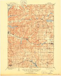
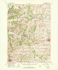
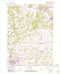
Historical Maps of Vermont Through Time
5 maps found