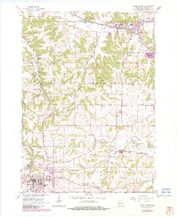
1962 Map of Cross Plains
USGS Topo · Published 1983About this map
Mt Horeb and Cross Plains anchor this Dane County landscape during a period of steady growth and infrastructure modernization. The rail-oriented economy is clearly defined by the Chicago Milwaukee St Paul and Pacific line passing through the northern townships, while the Chicago and North Western cuts through the south, linking Klevenville to the larger surrounding area. This 1962 data, updated with 1980 photogrammetric revisions, reveals a transition from traditional rural patterns to more specialized land use, evidenced by the Pine Bluff Observatory and the Gonslead Airport. Genetic researchers can trace local lineage through several well-documented religious sites, including Vermont Ch, St Marys Cem, and St Ignatius Cem. The terrain is shaped by the headwaters of the Sugar River and Black Earth Creek, with the prominent Sand Ridge overlooking the network of quarries and gravel pits that supported local construction and industry.
Find a feature on this map
41 named features on this map. Tap any name to fly to it.
Don’t see what you’re looking for? This feature index may not catch every label — zoom into the map to look around manually.
Map Details
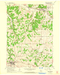
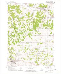
Editions of this 1962 Cross Plains Map
3 editions found
Other maps of this area

1907 · Cross Plains
USGS Topo · 1:62,500

1909 · Cross Plains
USGS Topo · 1:62,500

1920 · Blue Mounds
USGS Topo · 1:62,500

1922 · Blue Mounds
USGS Topo · 1:62,500

1923 · Blanchardville
USGS Topo · 1:62,500

1923 · New Glarus
USGS Topo · 1:62,500

1954 · Rockford
USGS Topo · 1:250,000

1955 · Rockford
USGS Topo · 1:250,000

1957 · Madison
USGS Topo · 1:250,000

1958 · Rockford
USGS Topo · 1:250,000