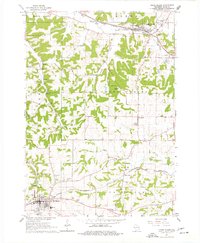
1962 Map of Cross Plains
USGS Topo · Published 1977About this map
Mt Horeb and Cross Plains anchor this 1960s topographic study of western Dane County, revealing a landscape defined by the convergence of early rail lines and winding creek valleys. Two major corridors, the Chicago and North Western and the Chicago Milwaukee St Paul and Pacific, traverse the terrain, shaping the development of small rail-side communities like Klevenville. The map illustrates the region's cultural fabric through numerous rural institutions, including the Vermont Ch and several Catholic sites such as St Marys Sch and the St Ignatius Cem.
Find a feature on this map
41 named features on this map. Tap any name to fly to it.
Don’t see what you’re looking for? This feature index may not catch every label — zoom into the map to look around manually.
Map Details
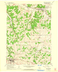
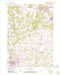
Editions of this 1962 Cross Plains Map
3 editions found
Other maps of this area

1907 · Cross Plains
USGS Topo · 1:62,500

1909 · Cross Plains
USGS Topo · 1:62,500

1920 · Blue Mounds
USGS Topo · 1:62,500

1922 · Blue Mounds
USGS Topo · 1:62,500

1923 · Blanchardville
USGS Topo · 1:62,500

1923 · New Glarus
USGS Topo · 1:62,500

1954 · Rockford
USGS Topo · 1:250,000

1955 · Rockford
USGS Topo · 1:250,000

1957 · Madison
USGS Topo · 1:250,000

1958 · Rockford
USGS Topo · 1:250,000