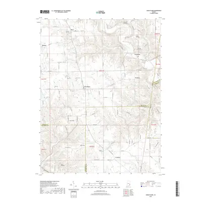
2019 Map of Cross Plains
USGS Topo · Published 2019About this map
Laughery Creek carves a deep, winding path through this corner of Southeastern Indiana, defining the border between several counties. The landscape is characterized by prominent ridges such as Salem Ridge and Poplar Ridge, which are separated by numerous hollows and creeks like Bear Creek and Wilson Fork. This 2019 survey documents a deeply rooted rural community, showing the density of historical family and church burial grounds that define the local genealogy.
Find a feature on this map
80 named features on this map. Tap any name to fly to it.
Don’t see what you’re looking for? This feature index may not catch every label — zoom into the map to look around manually.
Map Details
Editions of this 2019 Cross Plains Map
This is the sole edition of this map. No revisions or reprints were ever made.
Other maps of this area

1943 · Vevay North
USGS Topo · 1:24,000

1946 · Versailles
USGS Topo · 1:24,000

1946 · Milan
USGS Topo · 1:24,000

1953 · Cincinnati
USGS Topo · 1:250,000

1956 · Bennington
USGS Topo · 1:24,000

1956 · Canaan
USGS Topo · 1:24,000

1956 · Louisville
USGS Topo · 1:250,000

1957 · Cincinnati
USGS Topo · 1:250,000
1957 · Vevay North
USGS Topo · 1:24,000

1958 · Dillsboro
USGS Topo · 1:24,000