
1958 Map of Dillsboro
USGS Topo · Published 1960About this map
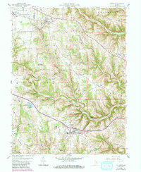
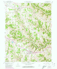
Moores Hill and Dillsboro anchor this late-1950s landscape, where the Baltimore and Ohio RR cuts a path through the dissected uplands of Dearborn County. The terrain is defined by a series of prominent ridges, including Holman Ridge, Mount Sinai Ridge, and Mount Tabor Ridge, which separate the various forks of Hogan Creek. This geography heavily influenced local settlement patterns, with roads and small communities like Sparta and Chesterville following the higher ground while smaller hollows like Brock Hollow and Love Hollow remain less developed.
Find a feature on this map
56 named features on this map. Tap any name to fly to it.
Don’t see what you’re looking for? This feature index may not catch every label — zoom into the map to look around manually.
Map Details
Editions of this 1958 Dillsboro Map
3 editions found
Other maps of this area

1915 · Lawrenceburg
USGS Topo · 1:48,000

1928 · Lawrenceburg
USGS Topo · 1:62,500

1932 · Lawrenceburg
USGS Topo · 1:62,500

1943 · Aberdeen
USGS Topo · 1:24,000

1943 · Aurora
USGS Topo · 1:24,000

1943 · Guilford
USGS Topo · 1:24,000

1946 · Milan
USGS Topo · 1:24,000

1946 · Pierceville
USGS Topo · 1:24,000

1953 · Aberdeen
USGS Topo · 1:24,000

1953 · Aurora
USGS Topo · 1:24,000