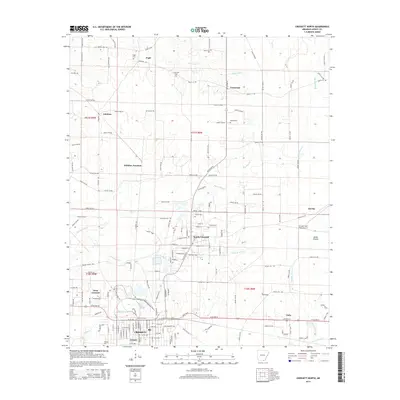
2014 Map of Crossett North
USGS Topo · Published 2014About this map
Crossett and its northern suburbs are meticulously detailed in this 2014 survey, illustrating the industrial and residential transition between the city center and the southern Arkansas timberlands. The map reveals a cluster of smaller communities including North Crossett, West Crossett, and Cremer, while further north the landscape opens into Smith Prairie. This era is characterized by a dense network of county roads like Ashley 15 Rd and Ashley 12 Rd that connect rural outposts such as Pugh and Whitlow. Local genealogy is well-supported by the inclusion of several family and community burial grounds, such as Simms Cem, Bethel Cem, and United Cem. Notable landmarks of the region's infrastructure include the Z M Jack Stell Field Airport and the rail-oriented site at Whitlow Junction, providing a clear look at how transportation shaped these Ashley County settlements.
Find a feature on this map
111 named features on this map. Tap any name to fly to it.
Don’t see what you’re looking for? This feature index may not catch every label — zoom into the map to look around manually.
Map Details
Editions of this 2014 Crossett North Map
This is the sole edition of this map. No revisions or reprints were ever made.
Other maps of this area

1934 · Ingalls
USGS Topo · 1:48,000

1934 · Felsenthal
USGS Topo · 1:62,500

1937 · Felsenthal
USGS Topo · 1:62,500

1937 · Ingalls
USGS Topo · 1:62,500

1938 · Felsenthal
USGS Topo · 1:62,500

1939 · Felsenthal
USGS Topo · 1:62,500

1939 · Ingalls
USGS Topo · 1:62,500

1952 · Fountain Hill
USGS Topo · 1:24,000

1953 · Greenwood
USGS Topo · 1:250,000

1953 · El Dorado
USGS Topo · 1:250,000