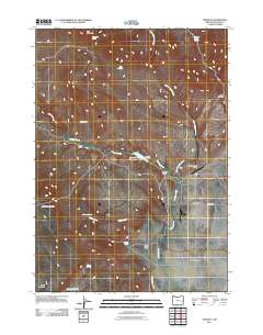
2011 Map of Crowley
USGS Topo · Published 2011About this map
Crowley and the Crowley Ranch are the focal points of this Malheur County landscape, where the water management of the High Desert is clearly visible through structures like the Crowley Dam and Crowley Reservoir. The map reveals a ranching economy reliant on scattered water sources such as South Star Spring, Whiskey Springs, and Porter Spring. The geography is defined by significant elevations like Star Mountain and Stockade Mountain, which transition into the broad expanses of Barren Valley. For local historians, the network of roads including Crowley Rd and Crowley-Riverside Rd illustrates the connectivity between these remote outposts and the larger region. The inclusion of the Crowley Ranch Airstrip highlights the importance of aerial access in this expansive terrain during the early 21st century.
Find a feature on this map
25 named features on this map. Tap any name to fly to it.
Don’t see what you’re looking for? This feature index may not catch every label — zoom into the map to look around manually.
Map Details
Editions of this 2011 Crowley Map
This is the sole edition of this map. No revisions or reprints were ever made.
Other maps of this area
1955 · Burns
USGS Topo · 1:250,000
1955 · Boise
USGS Topo · 1:250,000
1958 · Burns
USGS Topo · 1:250,000
1958 · Boise
USGS Topo · 1:250,000
1959 · Burns
USGS Topo · 1:250,000
1962 · Boise
USGS Topo · 1:250,000
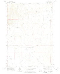
1972 · Burnt Flat
USGS Topo · 1:24,000
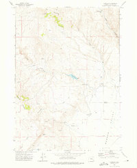
1972 · Crowley
USGS Topo · 1:24,000
1972 · Sacramento Butte
USGS Topo · 1:24,000
1972 · Mustang Butte
USGS Topo · 1:24,000